Waldeck are able to offer a wide range of digital surveying methods which allows us to ensure we are always using the right technology for the job.
How we can help
Due to continual advances in digital technology, many organisations have been left with the dilemma of which route and solutions to take to capture the data they need.
Our experience across multiple industries and design disciplines gives us the knowledge to make sure we meet our clients requirements, delivering the data they need in the best format to suit their project requirements.
Our team
Our Digital Capture team works with project teams and businesses to understand their specific requirements, enabling them to derive full benefit of the data over it’s lifecycle use.
Our digital surveying and digital capture solutions support multiple-use cases, from informed concept and design stage activities to supporting intelligent decision making for owner-operators.
Benefits
Utilising Digital Capture can create many benefits, such as:
- Cost savings due to faster methods of capture and minimal disruption to live sites
- Fully co-ordinated outputs for easy project integration
- Geolocation to suit ordnance or site datum’s
- Improved health and safety, minimising the need for specialist access equipment and working at height
- Much more information captured than if traditional methods were used, providing wider context
- The ability to use the data in a 3D environment
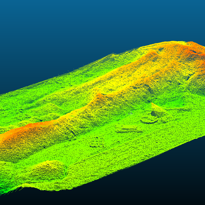
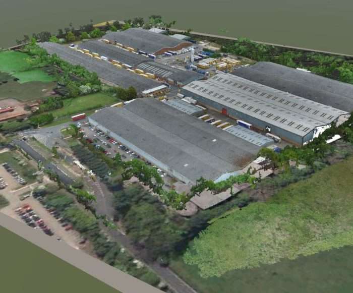
- Variety of outputs ranging from 2D drawings to 3D point clouds
Our solutions
Waldeck’s Digital Capture team offer solutions including:
- Bathymetric Surveys
- GPR Surveys
- Ground Penetrating Radar
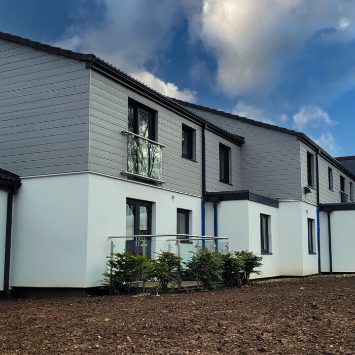
- Measured Building Surveys
- Mobile Mapping
- Photogrammetry
- Production of Topographic Drawings
- Progressive Monitoring of Construction Progress
- Provision of Orthomosaic
- Scan to BIM
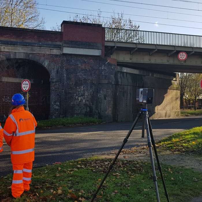
- Terrestrial Laser Scanning
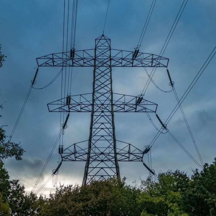
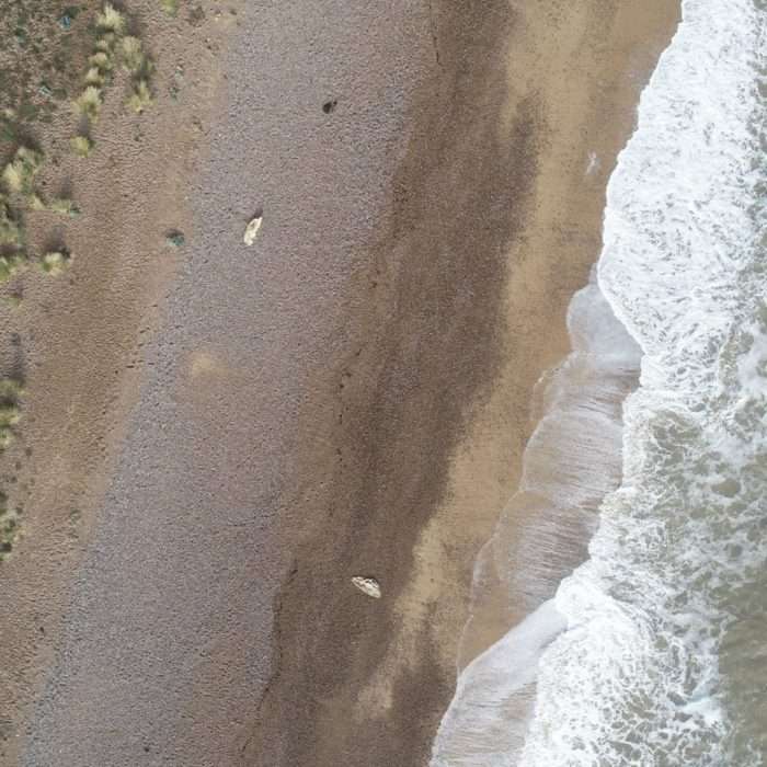
- UAV Aerial Surveys & Inspections
- 3D Immersive Digital Condition Reports
- 360 Photography
